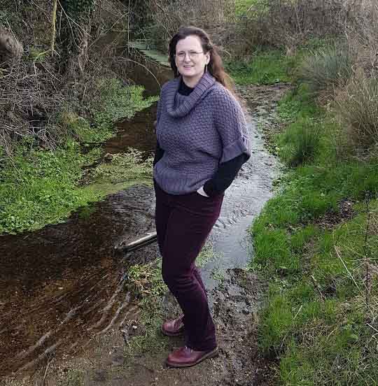
East Point Geo are delighted to welcome Dr Sarah Taigel to the company as a GIS/Fluvial Specialist. Sarah is a GIS specialist with extensive experience in commercial and public sector organisations across a wide range of projects. Previously Sarah has been the lead practitioner in delivering geospatial infrastructures for local government and played a key role in the development of a multicriteria model to evaluate risk for offshore windfarm and cable projects. Modelling and communicating spatial change at a landscape scale continued with a PhD at the UEA in spatial and collaborative technologies to support the catchment based approach. The PhD gave Sarah a chance to demonstrate innovations in spatial technology and acquire a strong background in stakeholder engagement, fluvial geomorphology, catchment science and evaluating natural capital at a landscape scale. After the PhD Sarah worked on methodologies to generate reliable regional scale datasets from opensource and collaborative data sources giving her further expertise in handling large volume datasets. More recently Sarah has been surveying the fluvial environment around Norfolk and working with catchment stakeholders to develop evidence based approaches to projects in the water environment.

