Engineering Terrain Evaluation for Onshore Gas Field, Oman
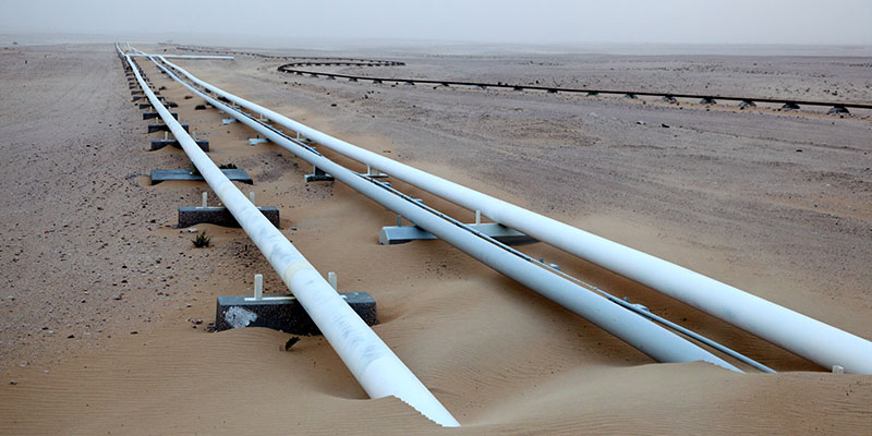
East Point Geo provided geomorphological and geospatial support to aid evaluation of desert terrain (including dune fields, salt flats and adverse soils) for a large onshore gas field, Oman.
The development comprised multiple wells, pipelines and associated facilities in challenging terrain. East Point Geo’s role included desk-based geomorphological mapping and data management to support field engineering teams. Collation and management of geo-data into a project GIS was also undertaken, aiding communication of results to engineers and data accessibility.